Our technology
some basics on the science behind...
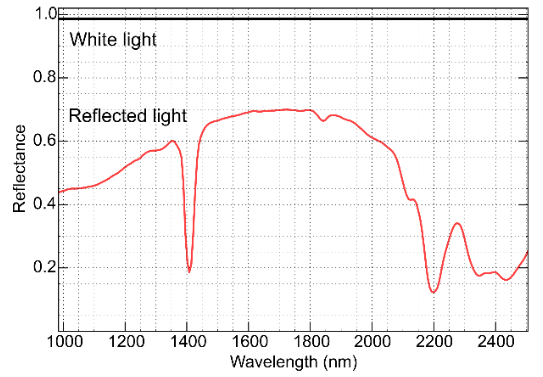
Reflectance spectroscopy
It is a non-contact, non-destructive and fast surface analysis technique. It consists in illuminating the samples with an artificial light source (broadband) and measuring the reflected light with a spectral camera. The output of the camera is a spectrum measured at each pixel along the scan line.
Since each mineral and its different chemical configurations have a unique spectral fingerprint, we can use reference databases to identify minerals.
THE SCANNER
Fast and convenient
Thanks to great automations, core handling design, and fast cameras, the scanner can process core boxes at high rate.
Core boxes are placed on the entrance conveyor, automatically aligned and returned on the conveyor next to it, same side, for a maximum of ergonomy and continuous flow of boxes.
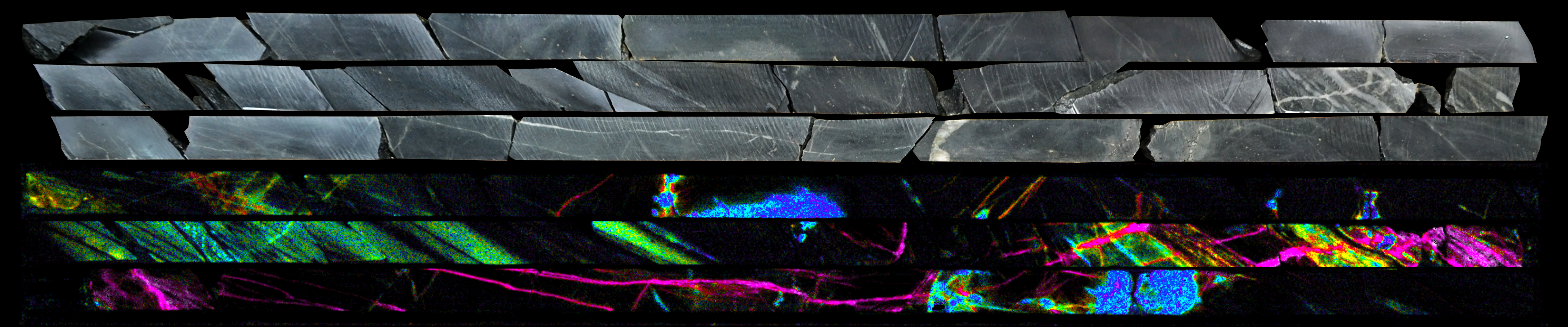
High resolution hyperspectral imaging
Our scanner integrates 5 hyperspectral cameras for mineral identification, as well as a 3D profiler and an high resolution RGB camera for color photography.
Versatile
Our conveyor system handles a variety of drill core boxes that can accomodate different type of samples and requires minimal preparation :
- Full cores
- Half cores
- Chips / particles
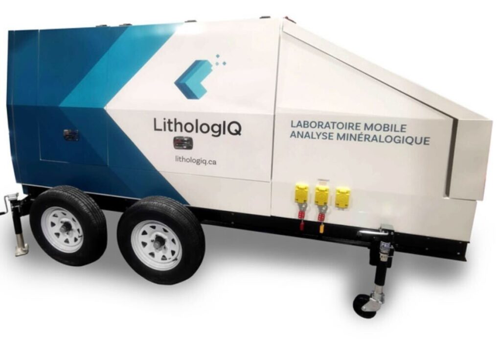
mobile / On site
Integrated in a standard 20 foot sea container with air conditionning, it can operate in remote location, at mine site, under almost all weather.
addon sensors
The scanner has been designed to accommodate additionnal sensors to work as a complement to the hyperspectral cameras, providing extended capabilities. Some of them may be under development, please contact us to discuss about availability.
- LIBS
- Magnetic susceptibility
- XRF
- LIF (ex. rare earth)
- RAMAN
THE SOFTWARE
Philosophy
geoscience
All hyperspectral data is analyzed using our proprietary software, which allows accurate, reliable, and repeatable identification of mineralogy, mineral chemistry, and other physico-chemical parameters for every single pixel of the acquired data.
Semi-Quantitative Mineral Mapping
Mineral Chemistry
Tracking Ore
Based on LithologIQ’s geoscientific expertise, an alteration score based on hyperspectral mineralogy relevant to your deposit is created and provides a simple indicator of hydrothermal alteration and potential mineralization at your site.
geoPHYsics
RQD
The integrated 3D profilometer allows the estimation of total length of core per given interval, which reduces technician workloads on fresh core.
Contact info
- info@lithologiq.ca
- +1 514-894-5170
Follow us
LithologIQ Inc.
Precise. Actionnable. Fast.